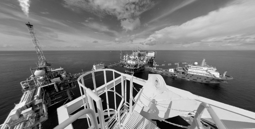

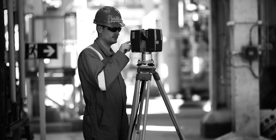
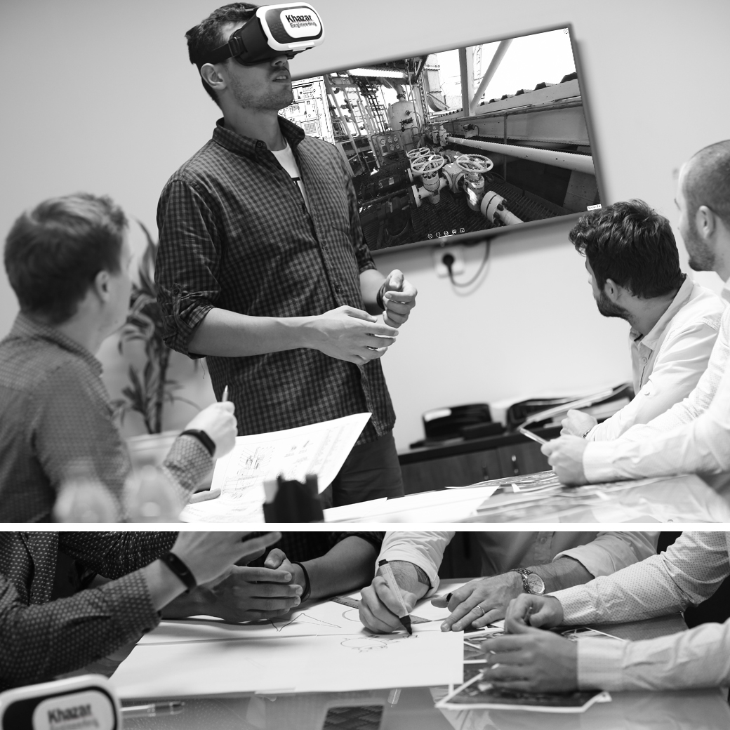
Khazar Engineering have been pushing the boundaries of technology and has developed 360 degree virtual tours, utilizing output from the Laser Scanner (the 360 degree spherical panoramic image) and developing a navigation tool to create online asset maps to navigate through the images which brings the facility to life.
This technology can useful in many ways. For example:
- Provides a single spherical photo.
- Can be executed in all lighting conditions.
- Delivered though interactive web-based viewer.
- Intelligence population.
- Real time spatial interaction.
- Engineering support.
- Survey preparation.
- Construction workpacks.
- Lifting plans/rigging schemes.
- Design reviews.
- Health and safety incident reporting.
- Maintenance Reports.
- Training / site orientation.